How Big?


Hans Hack has developed a neat little tool that lets you quickly draw a circle or square with a given area on a map, and download it as a GeoJSON. It's called "How Big".
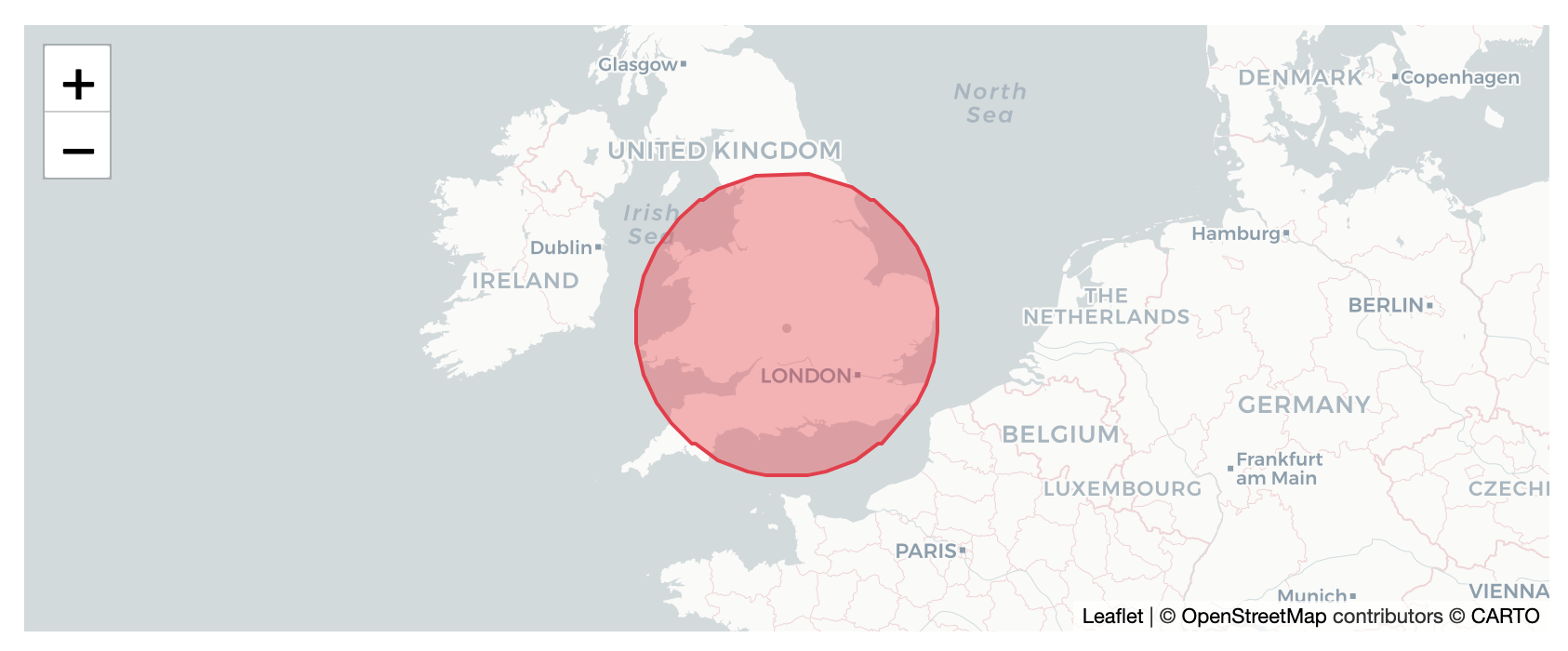
It's a handy way to show your readers what a given area looks like compared to an area that they know.
For example, here's the amount of land burnt in Australia's 2019-20 bushfire season (18,636,079 hectares) superimposed over the UK:
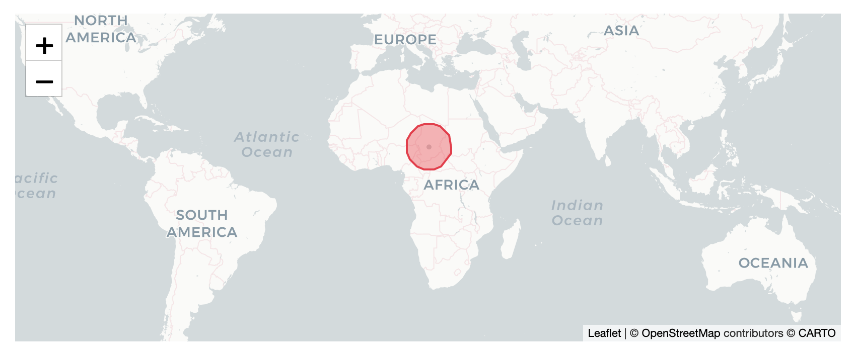
Here's another classic example - the area of Greenland superimposed over Africa.
Hack also has a similar tool called Reprojector that lets you upload a GeoJSON and move it around the globe, so you can compare it to different landmasses. But I had trouble getting it to accept my geojsons, so YMMV.
Either way, it's now easier than ever to give your readers context for an area figure that you list.