
Peak Map

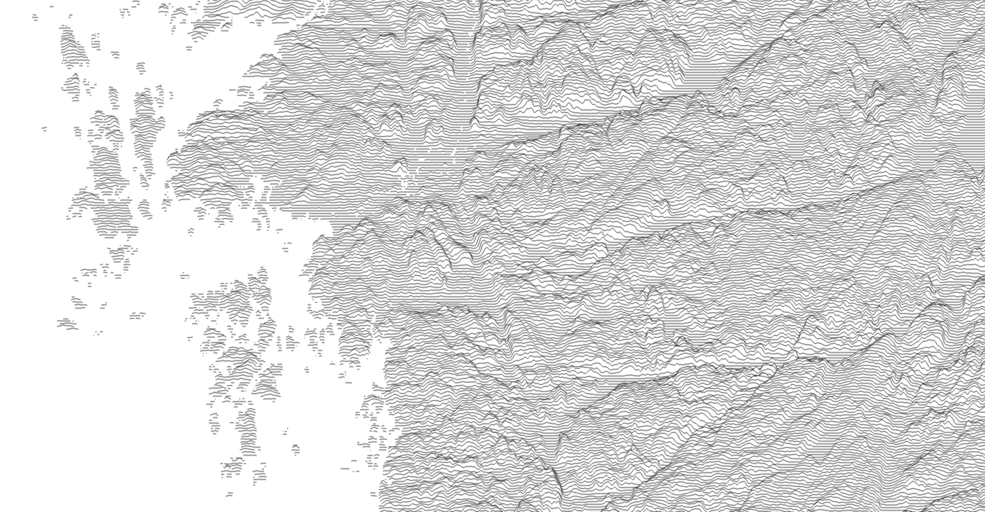
Ridgeline plots (formerly known as joyplots - read the explanation for the name change) are a lovely way of displaying topography.
Peak Map is a website created by Andrei Kashcha that lets you go to anywhere on Earth and make a ridgeline plot of the local geography.

Andrei writes:
I'm using MapBox GL to draw the map. Once the area is selected, I'm using elevation data API from the MapBox. The rendering of the lines is done on canvas overlay, using regular 2D canvas context.