
Skåneleden Notes 1 Apr - 10 Apr 2023

Usually in the notes that I write every ten days, I round up my recent creative input and output. This time round, though, things are a bit different - over Easter I took a five-day walk through the forests of northern Skåne, so that's what this post is about.
First things first, here's the route I took. We did sections one to nine in this trip. Hopefully we'll do the rest later in 2023.
Day one: 33km
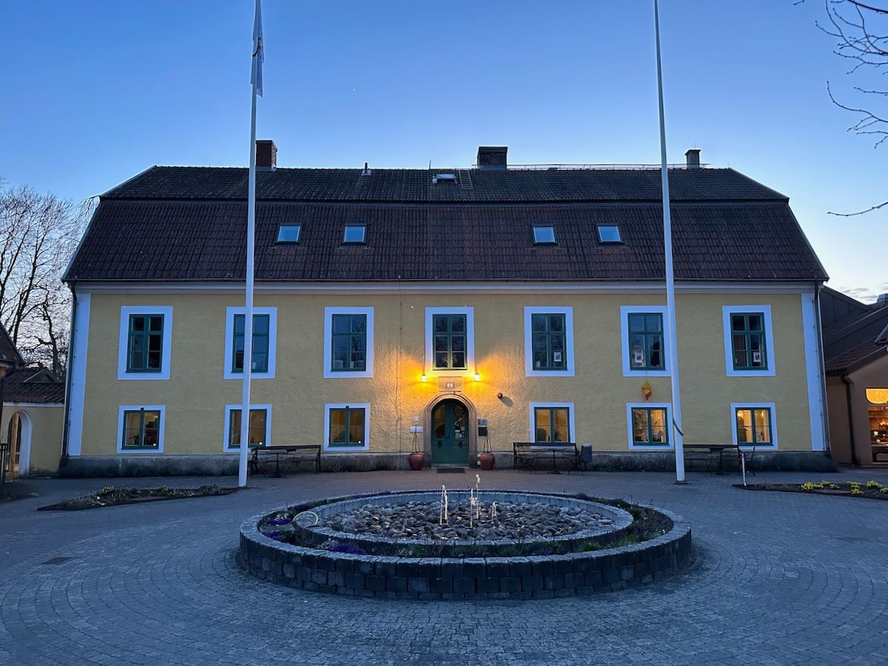
Water was the theme of the first leg, despite the skies being blue the whole day. We began at Vittsjö - near the northern border of Denmark during the wars of the 1600s, where a young king Gustavus Adolphus almost drowned while fleeing the Danes in 1612. Swedish history would likely have turned out very differently if he had.
The early-March ground was soggy, with plenty of small flooded sections of the trail. Most were easily surmountable. For pretty much the whole day we followed either the Hörlingeån river, a tiny remnant of the enormous glaciers which once carved their way through this landscape, or the gravel ridges which served as their boundaries.
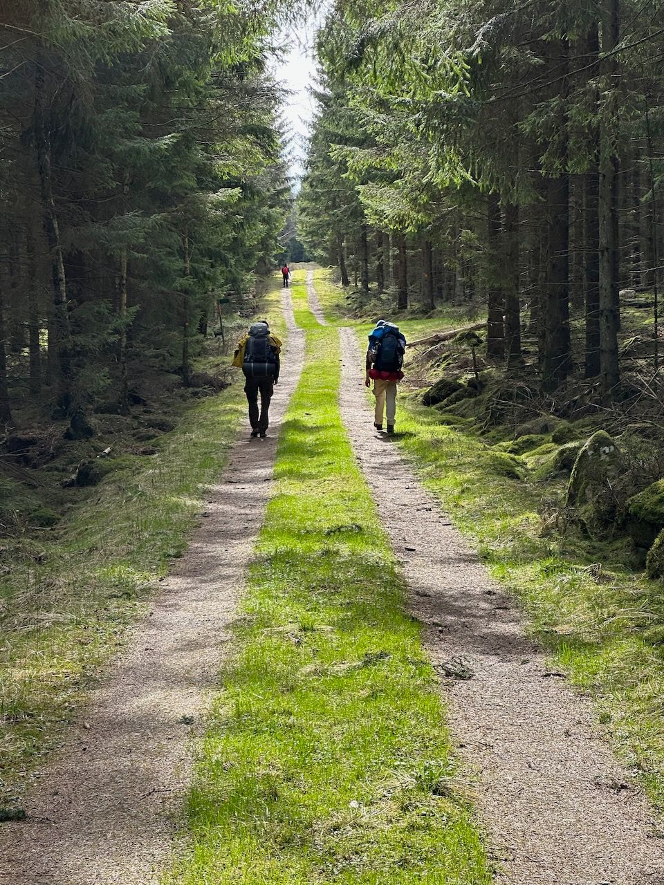
Starting on a Wednesday in the middle of the week meant that we hardly saw another soul - a few retired folks in their front gardens, starting the post-winter cleanup, and one or two dog walkers near the end of the day. A small group of students with backpacks at one point. Otherwise the trail was deserted.
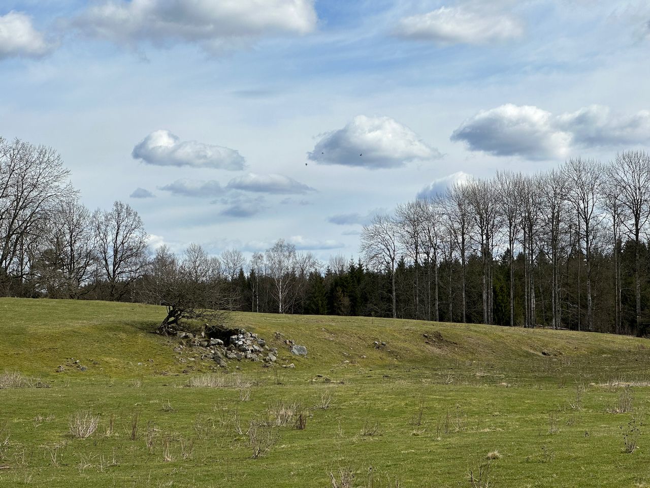
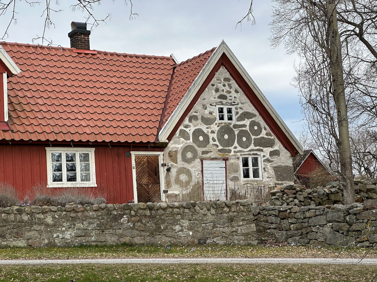
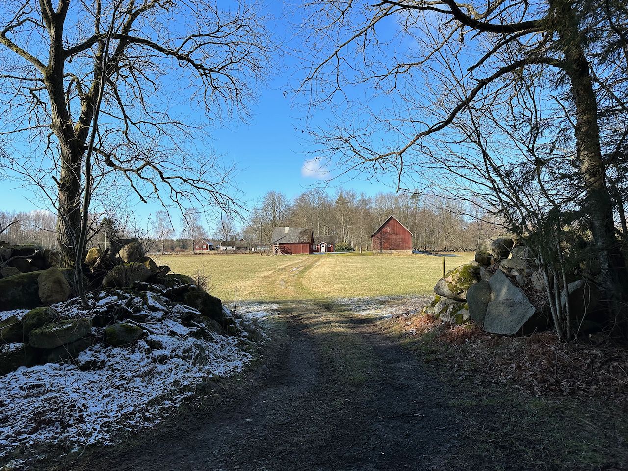
We passed many ruins of mills and "backstugor" - cottages dug into the sides of hills. Urbanization came relatively late to most of Scandinavia, and the Swedish countryside was extraordinarily poor in the 1700s and 1800s, driving mass migration to North America. As the countryside depopulated, these homes fell into ruin, and walking through southern Sweden today you'll frequently pass a side of a hill with a chunk missing from it that was once home to some of the very poorest in rural society.
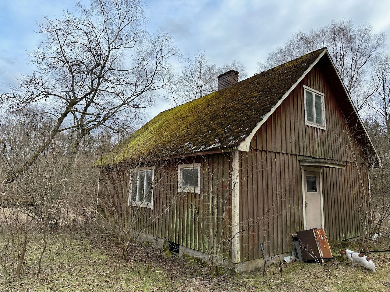
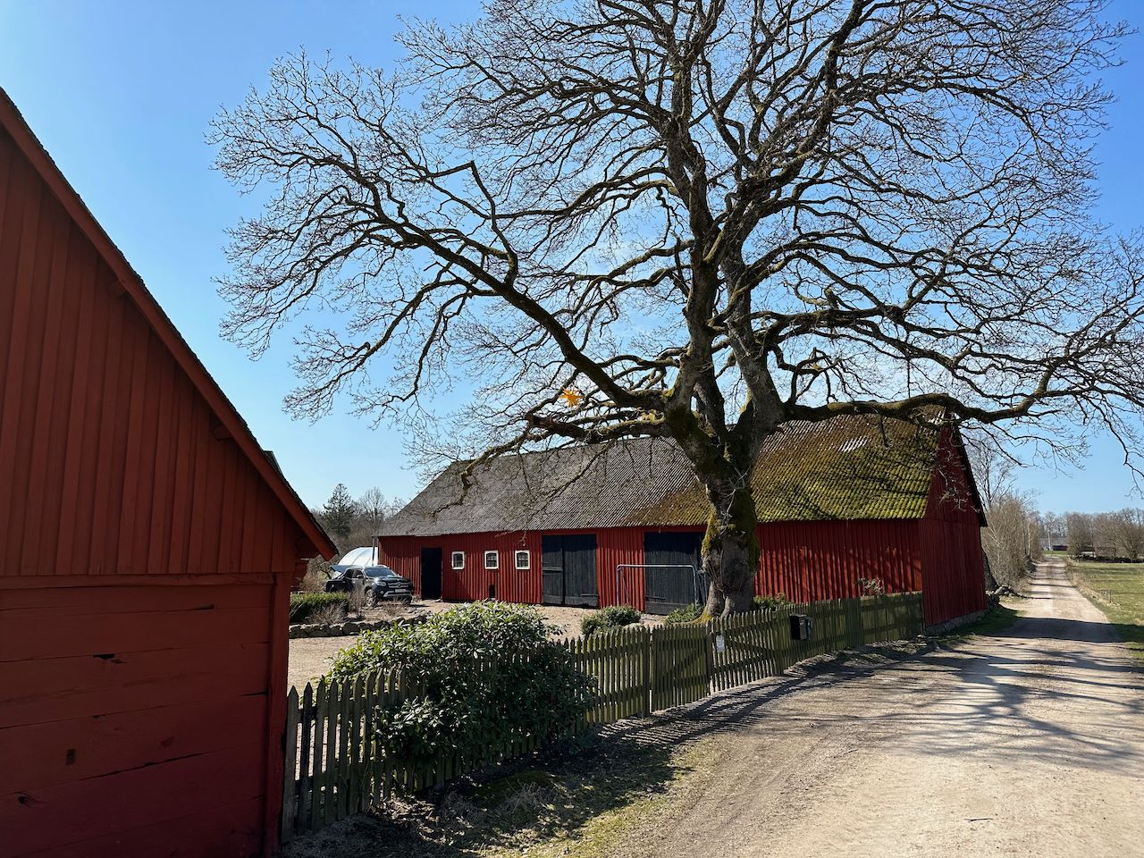
Countryside life is rather better these days, obviously, but we still passed deserted farms from time to time. One of the saddest was a collection of farm buildings in Jontustorp that were totally derelict, with moss growing over the roofs, and the rusting remains of a tractor, farm equipment, and a classic car slowly being overgrown by vegetation. The whole place had a dark atmosphere. A bit of post-walk internet sleuthing suggests that the land was recently sold, so I hope that the new owner will be able to bring some life back to it.
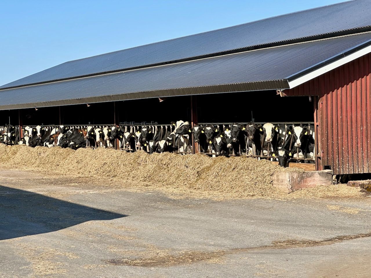
I made the mistake on the first day of wearing two pairs of socks, which did a fair bit of damage to my feet. Not a great start. Luckily, a restorative night's sleep in a guesthouse adjacent to an enormous farm complex repaired enough of that damage that - with the help of a few blister plasters - they were servicable the following day, and they healed from there.
Day two: 25km
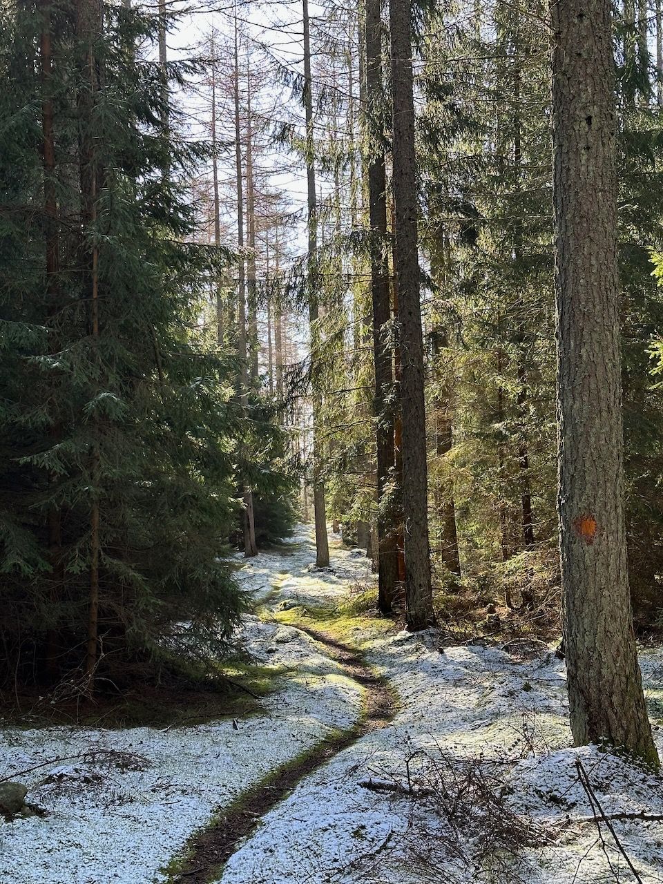
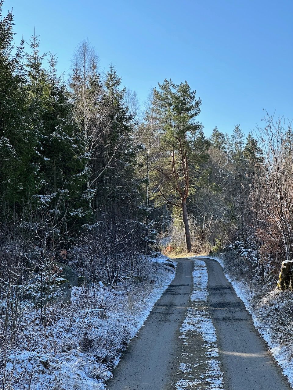
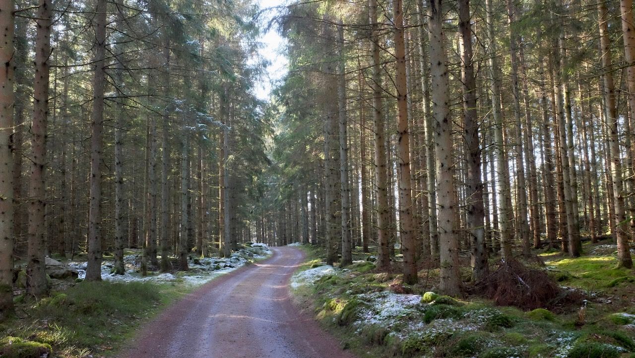
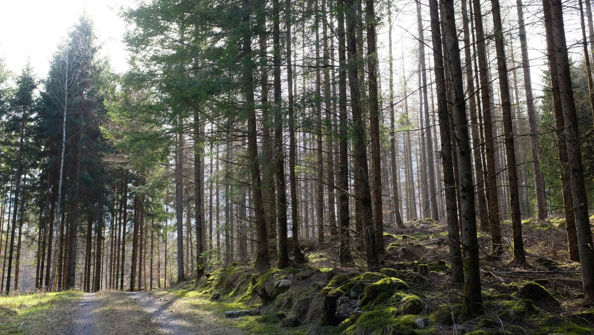
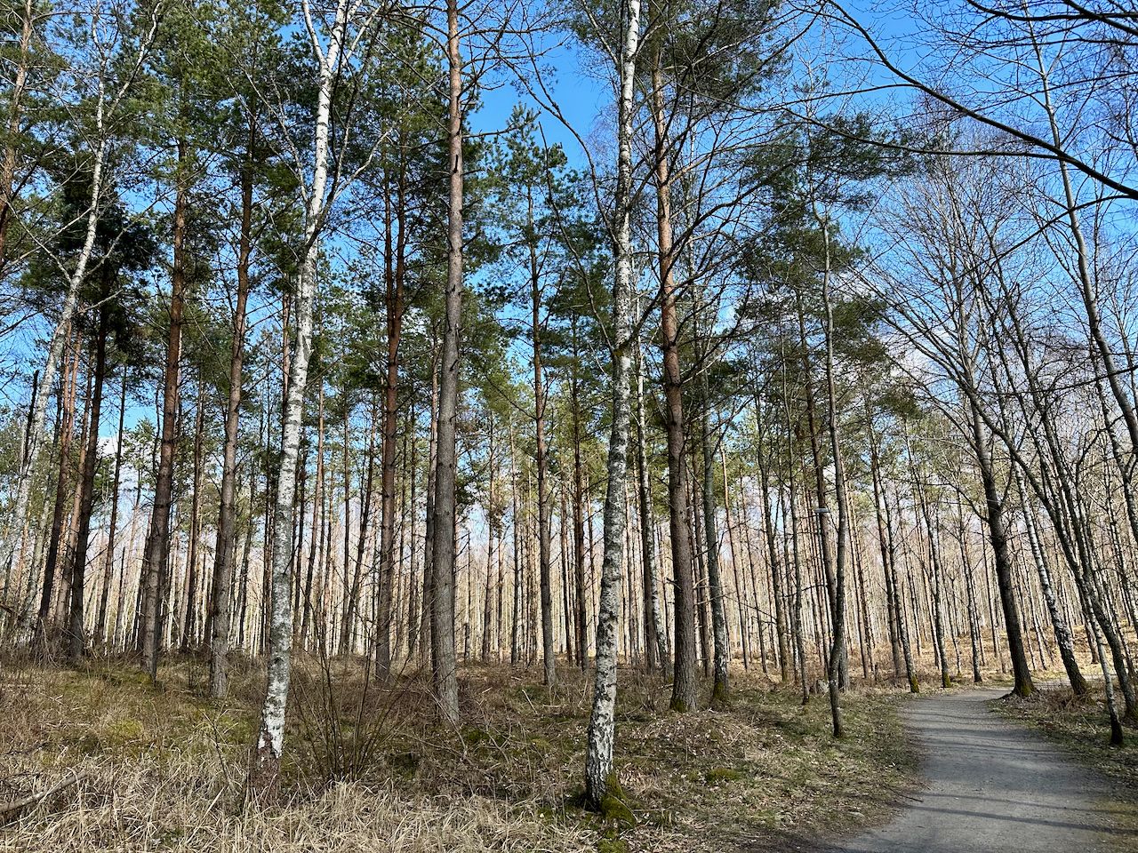
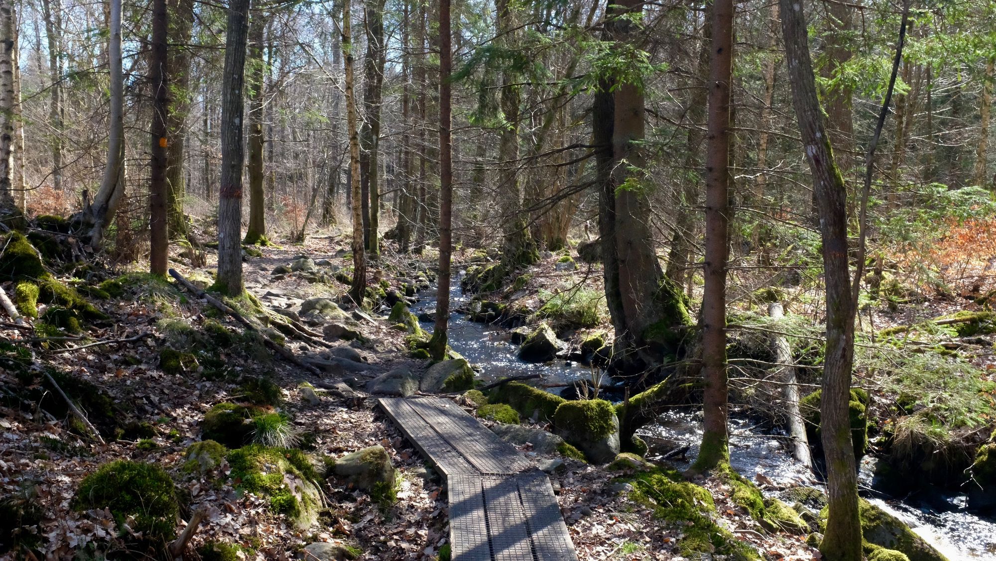
We awoke to a dusting of snow and temperatures a few degrees below zero, which was actually pretty nice. Cold temperatures are fine when you're walking, but you cool down fast when you stop, so we didn't stop much and instead made as much progress as we could down through the forests towards Hässleholm.
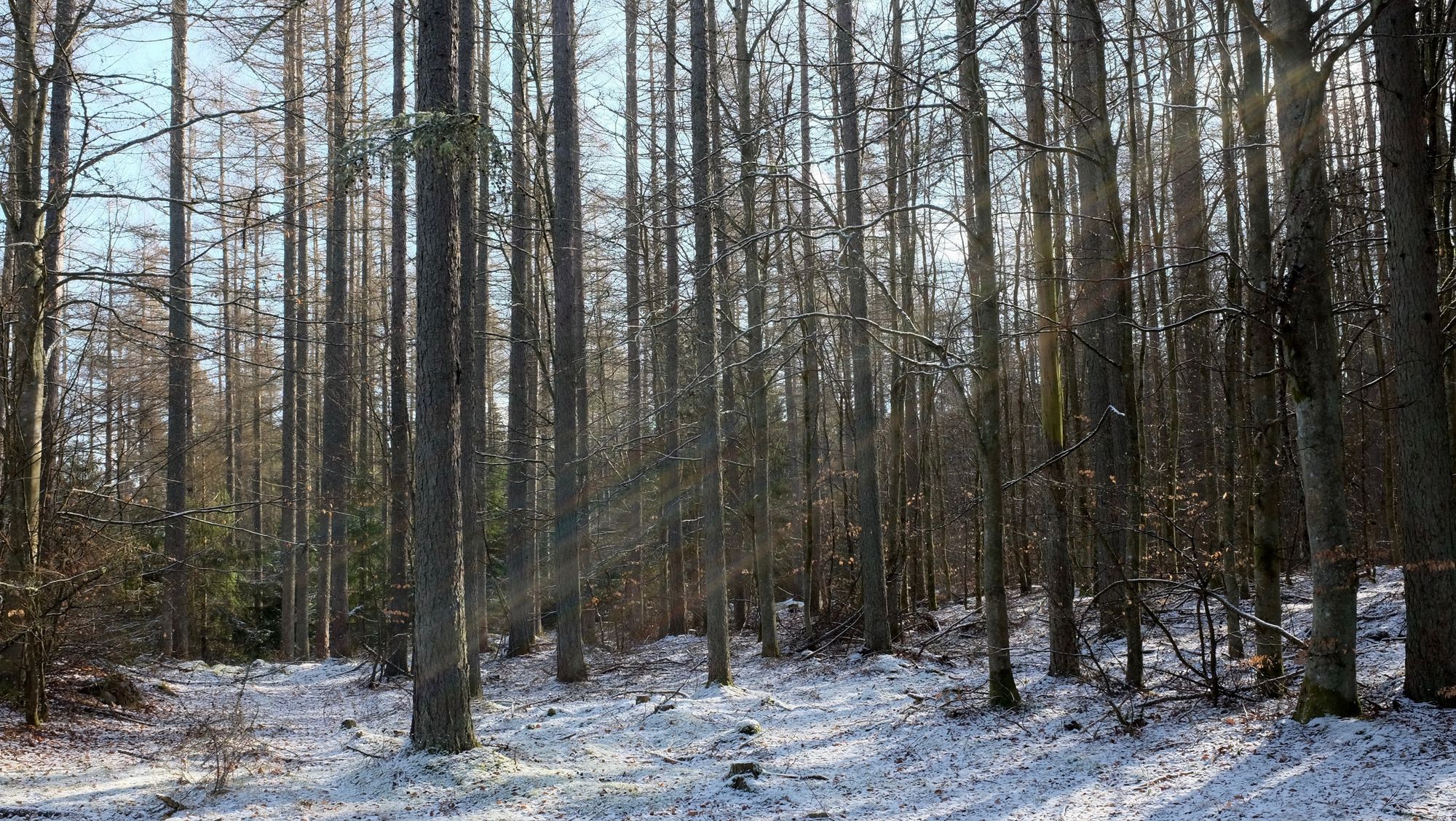
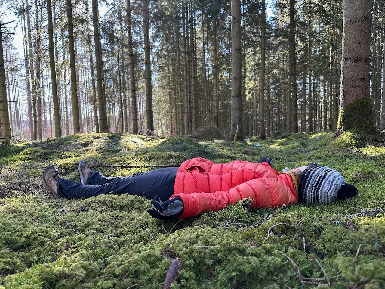
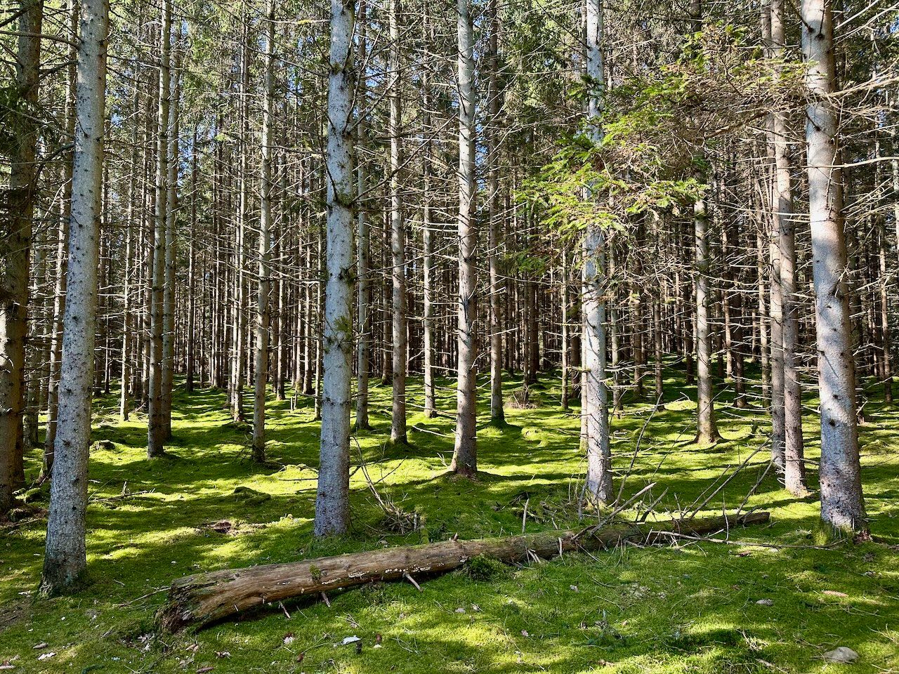
The morning was really lovely - lots of pine forest and mossy ground. Red kites circling above cleared areas. The snowfall slowly melting in the sunlight, falling off the trees like rain. At one point we just lay down in the moss and looked up at the trees and the sky.
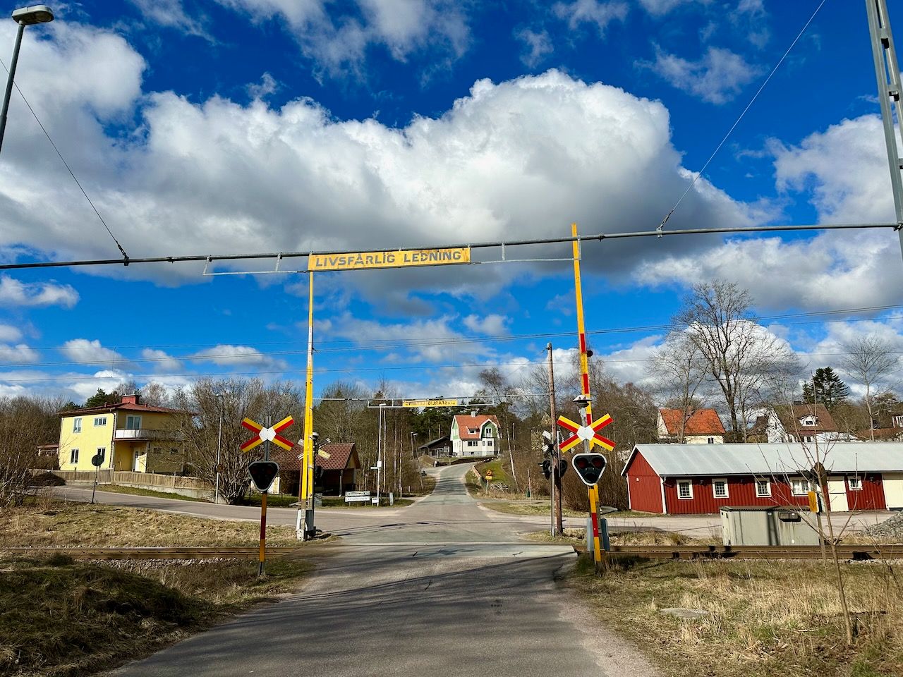
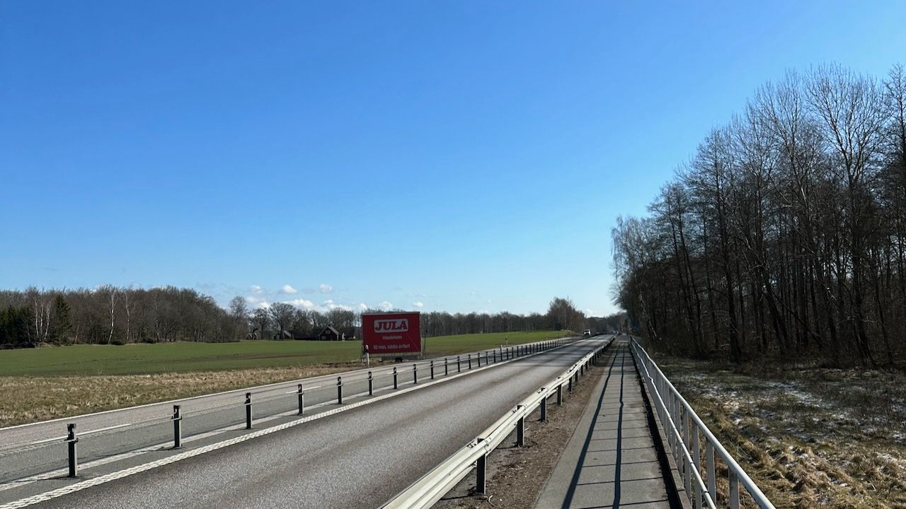
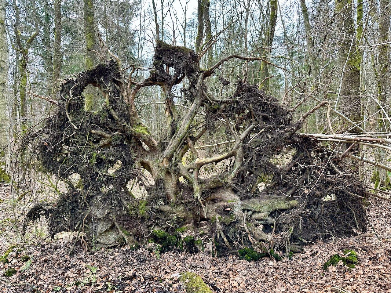
It couldn't last too long. Eventually we came up against a main road that was tricky to cross. There was a cable blocking the middle, and then a set of crash barriers on the far side. We were forced to clamber over with cars tearing past on both sides. Helpfully, a sign said that a new crossing would be built in 2022. On the far side, the route passed through a marshy area covered with fallen trees, which was again pretty tricky. At one point I was nearly floored by a string of rusty barbed wire about 30cm off the ground that I didn't see.
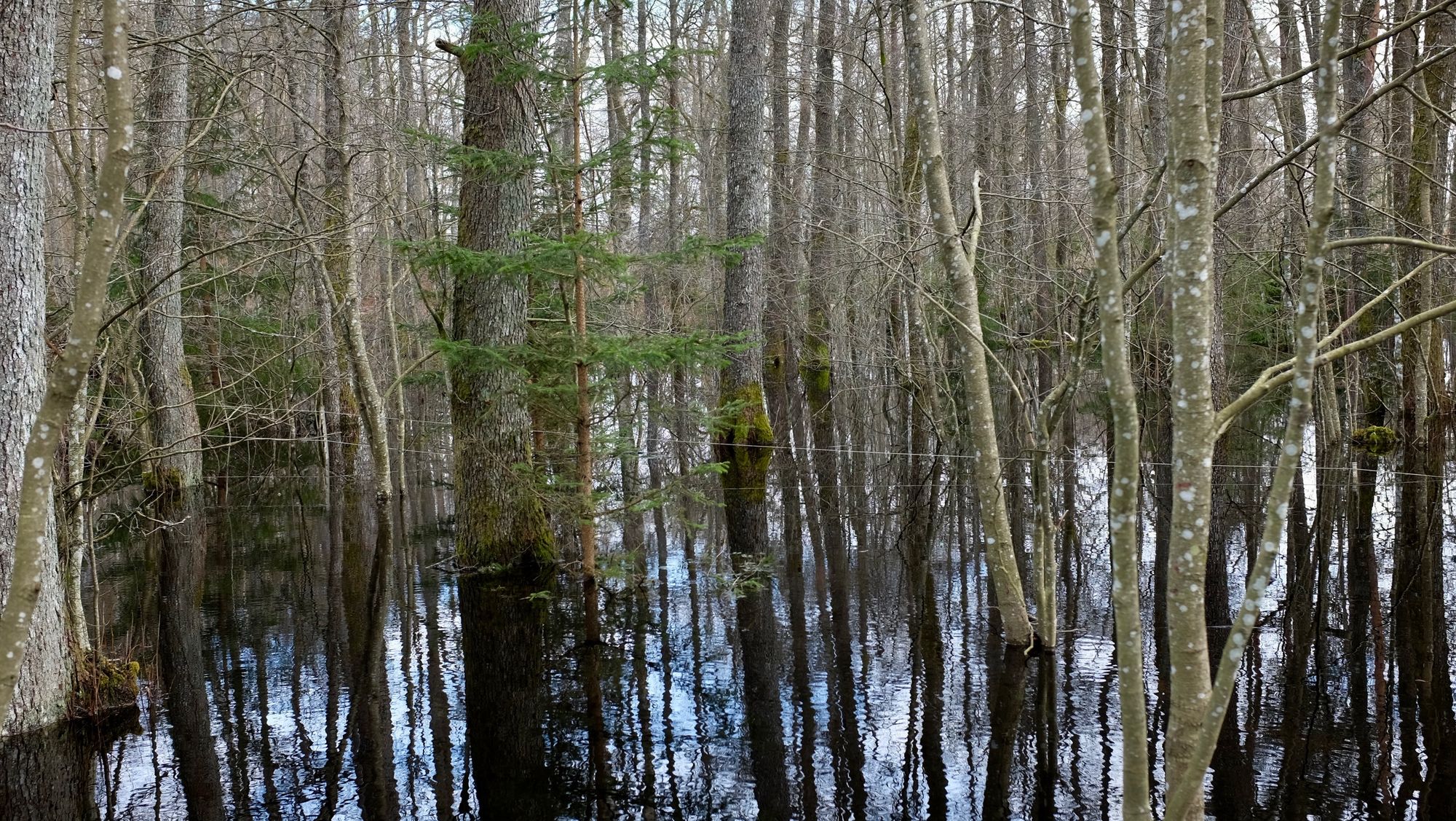
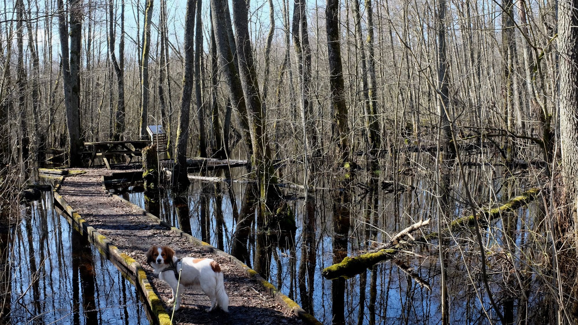
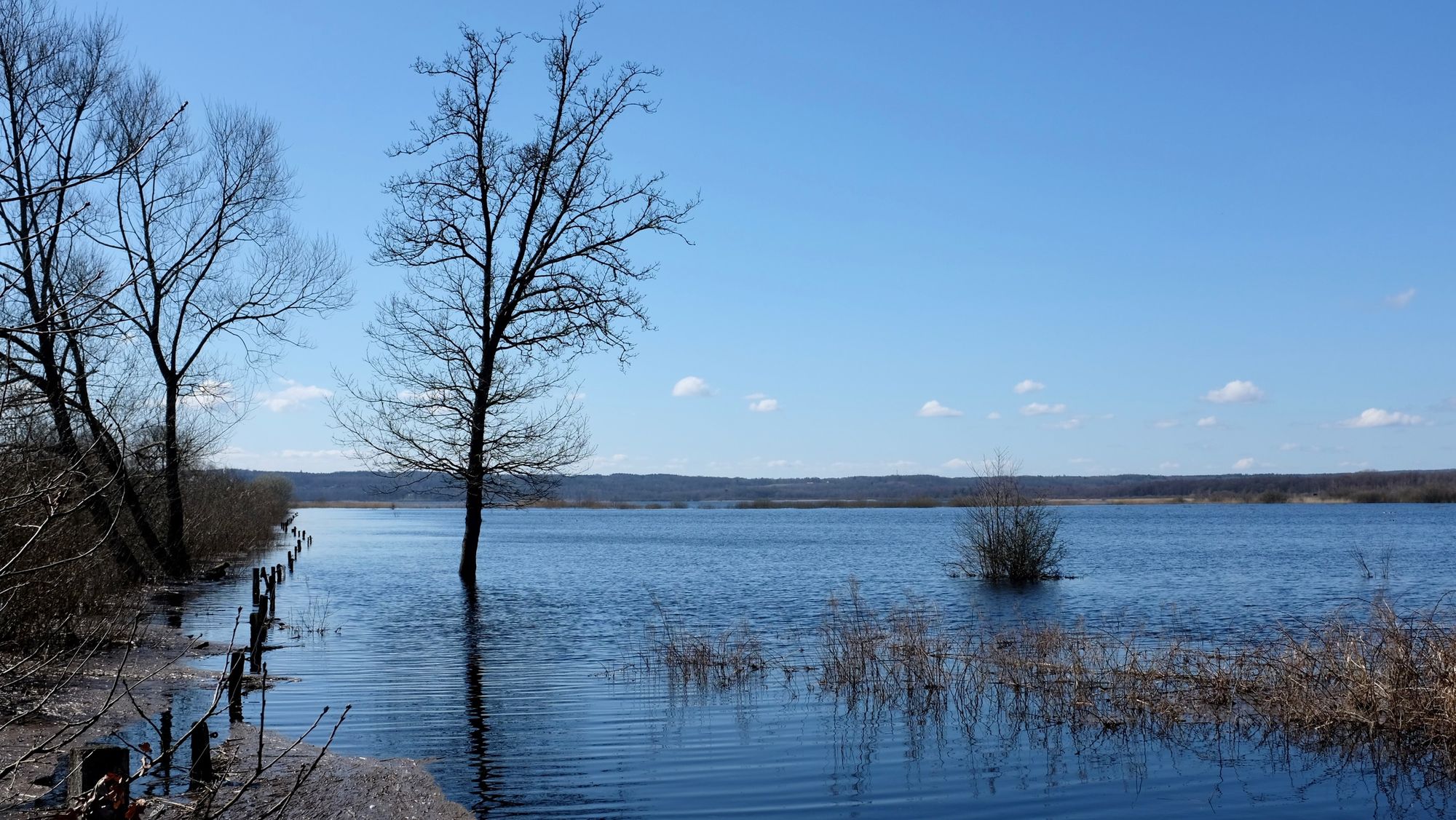
Eventually we approached the shores of Finjasjön, breaking for a slightly precarious lunch on a half-rotten platform in the middle of a flooded alder forest. After we found a part of the walkway we were pretty sure would stay afloat for at least 30 minutes, we were able to enjoy the tranquility of being surrounded by water and birdsong.
Around there, we also stumbled across the site of the oldest evidence of human activity in Sweden, dating back 14,000 years when stone age hunters from the Hamburg culture chased reindeer herds up against the edges of retreating glaciers. Nearby, there's also evidence of habitation from the Bromme culture a couple of thousand years later.
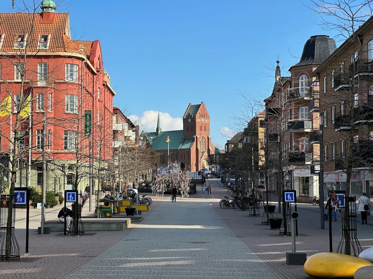
We tried to climb the "Slingra Dig!" birdwatching platform to look out over the lake, but the route there was totally flooded out so we were forced to detour inland a little, crossing a cornfield full of husks. On the far side, Hässleholm's suburbs began - with ugly McMansions butting up against the lake.
From there, all we had left to do was make our way into town. We followed a trail that 19th-century postmaster Nilla Jönsdottir - known locally as Posta Nilla - took to Kristianstad, where the nearest post office was located. She walked the 40km route twice a week, bringing mail to Hovdala Castle. By the time she died, in 1916, the local newspaper estimated she'd probably walked almost 180,000 kilometres in her lifetime - about four and a half times the circumference of the Earth.
Day three: 22km
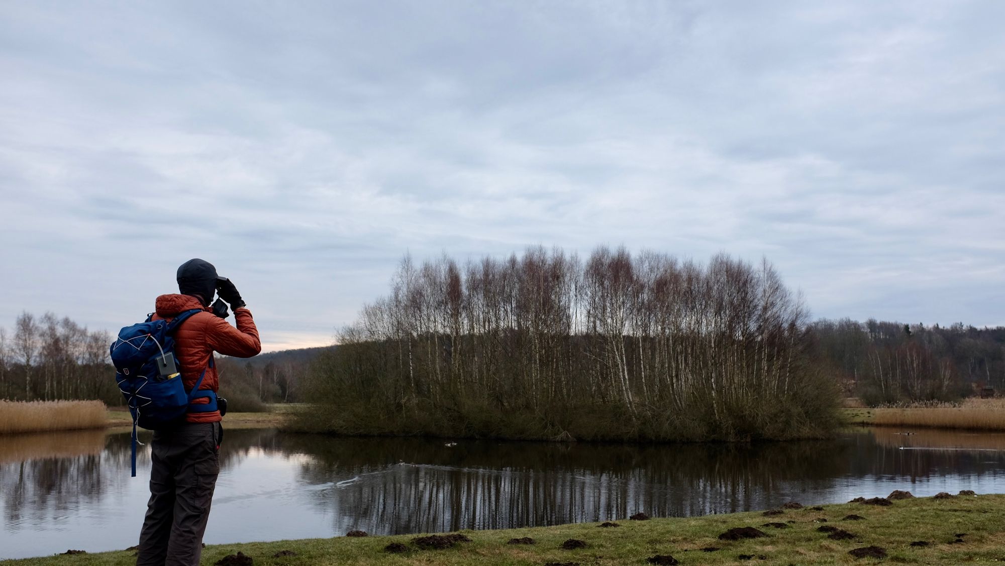
Heading southward out of Hässleholm, we soon ran into a set of man-made ponds that we discovered are part of an experiment to reduce the amount of nitrogen and phospherous fertiliser from local farming that end up in nearby lakes, rivers, and eventually the Baltic sea. The idea is that water from local agricultural land runs into these ponds, and loads of algae and aquatic plants grow from the fertiliser. Those plants are then harvested annually.
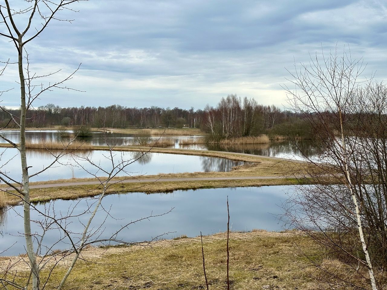
The resulting artificial wetland has become a paradise for birds, and is totally open to the public. We saw geese, gulls, loads of different kinds of duck, oystercatchers, and even a huge cormorant sitting in a tree. The vibe of the whole thing was very low-key solarpunk.
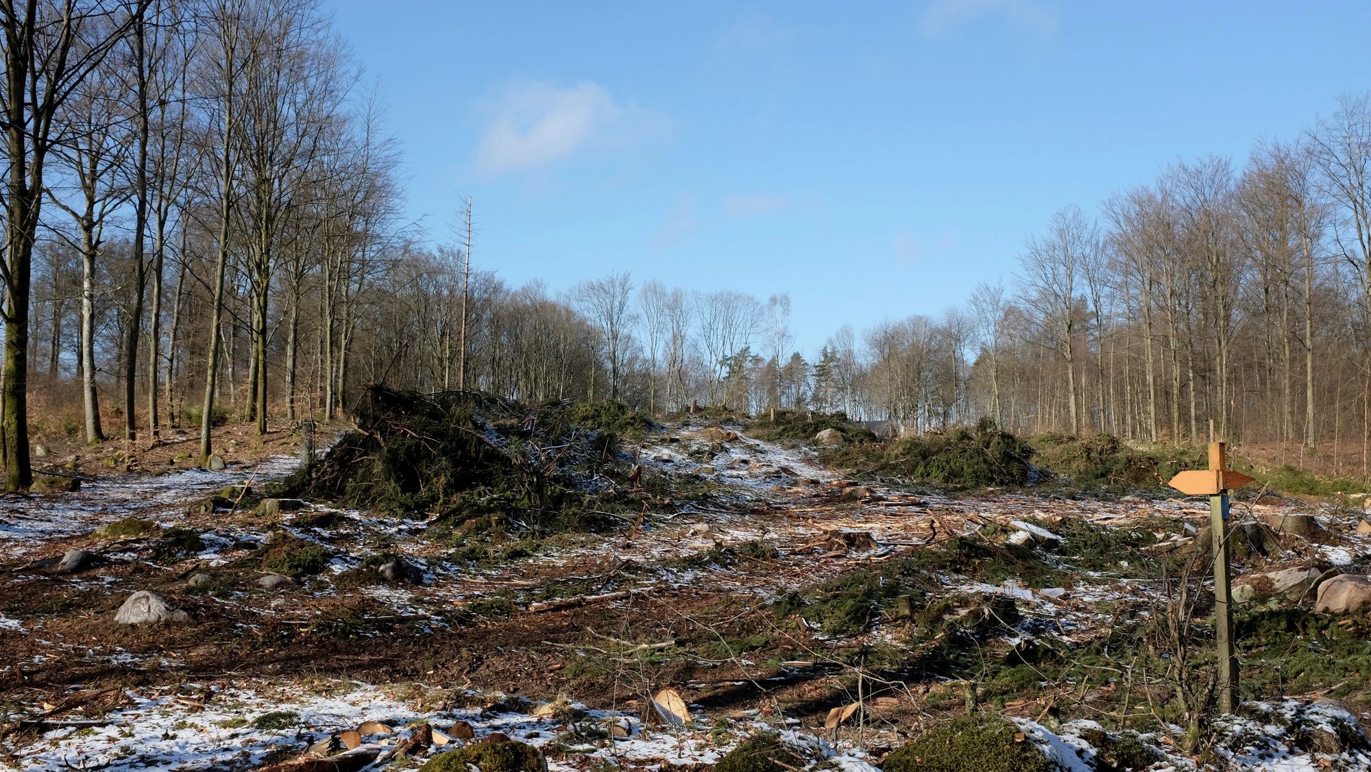
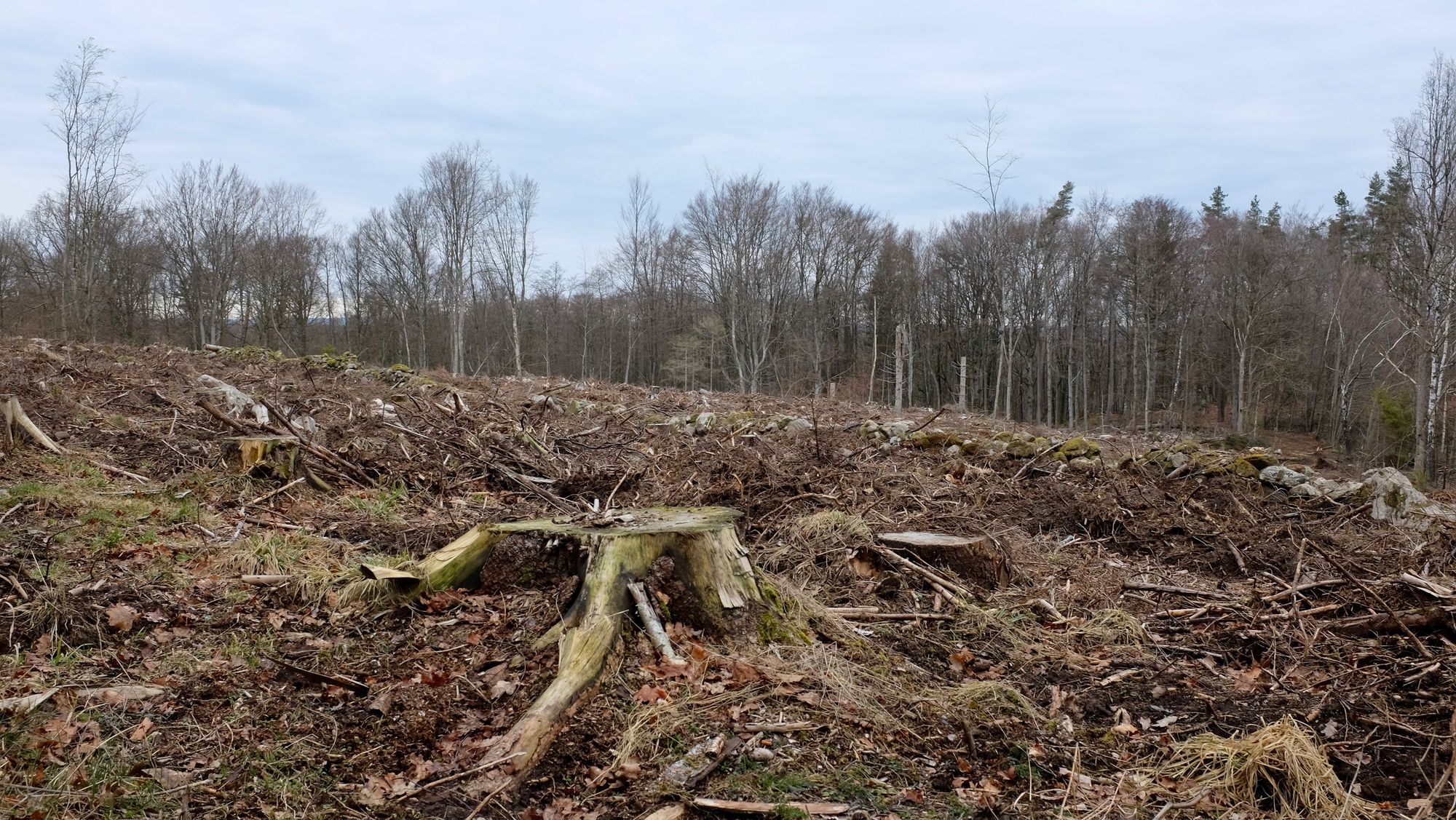
Unfortunately, not far down the trail, we found ample evidence of Sweden's least environmentally-friendly addiction - clear-cutting forestry. Vast areas of trashed ecosystem, covered in tyre tracks and ragged stumps. The country loves to tout its environmentally-friendly credentials, but a study published last year found that about a quarter of Sweden's old-growth forest was lost to logging between 2003 and 2019. While this kind of deforestation is monitored closely in tropical countries, it goes almost totally unnoticed in the global north. If you've ever wondered how IKEA furniture can be so cheap, this is why.
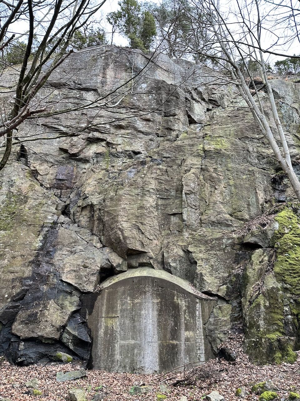
The pizzaria we tried to go to for lunch was closed, so we subsisted on trail snacks and moved on along the Göingeåsen Ridge. The ridge is covered with lovely broadleaf forest, but it hides a secret - below the mountain is LFC Staren - one of 11 subterranean command centres built during the Cold War that monitored air defence across the country. It contains an enormous 5,000 square metre room nicknamed "The Church", where 70 people worked - moving aircraft markers around a huge map in real-time. Today, all the entrances are sealed with concrete, but occasionally people find a way inside.
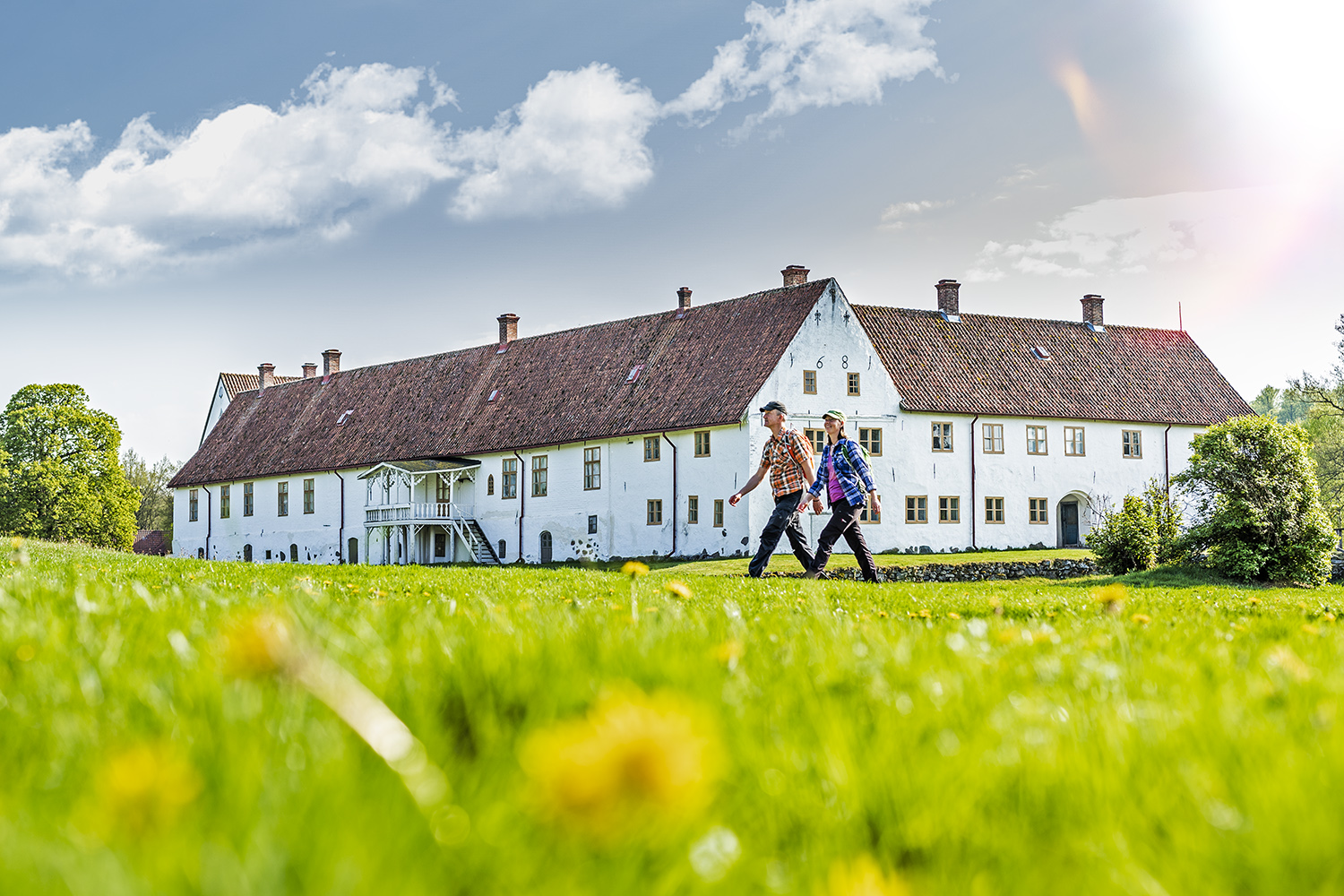
Today, it really felt like we were walking from Winter into Spring, with beautiful sunshine and warming temperatures. By mid-afternoon we'd made it to our destination - Rallarhustruns Veranda och Logi. Two years ago, it was a run-down hostel and conference centre but now it's a charming solar-powered B&B run by a friendly couple, and probably the loveliest place we stayed on the whole trip. Highly recommended if you're in the area.
Day four: 23km
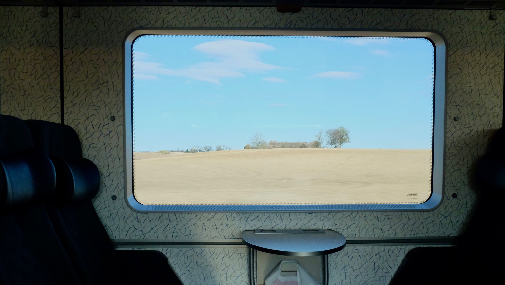
Day four was going to be our longest hike - 36km on paper - but that felt too ambitious. So we adjusted the route a little, making the decision to shortcut the second half with a train journey, and return in the coming weeks to walk the bit we didn't walk today.
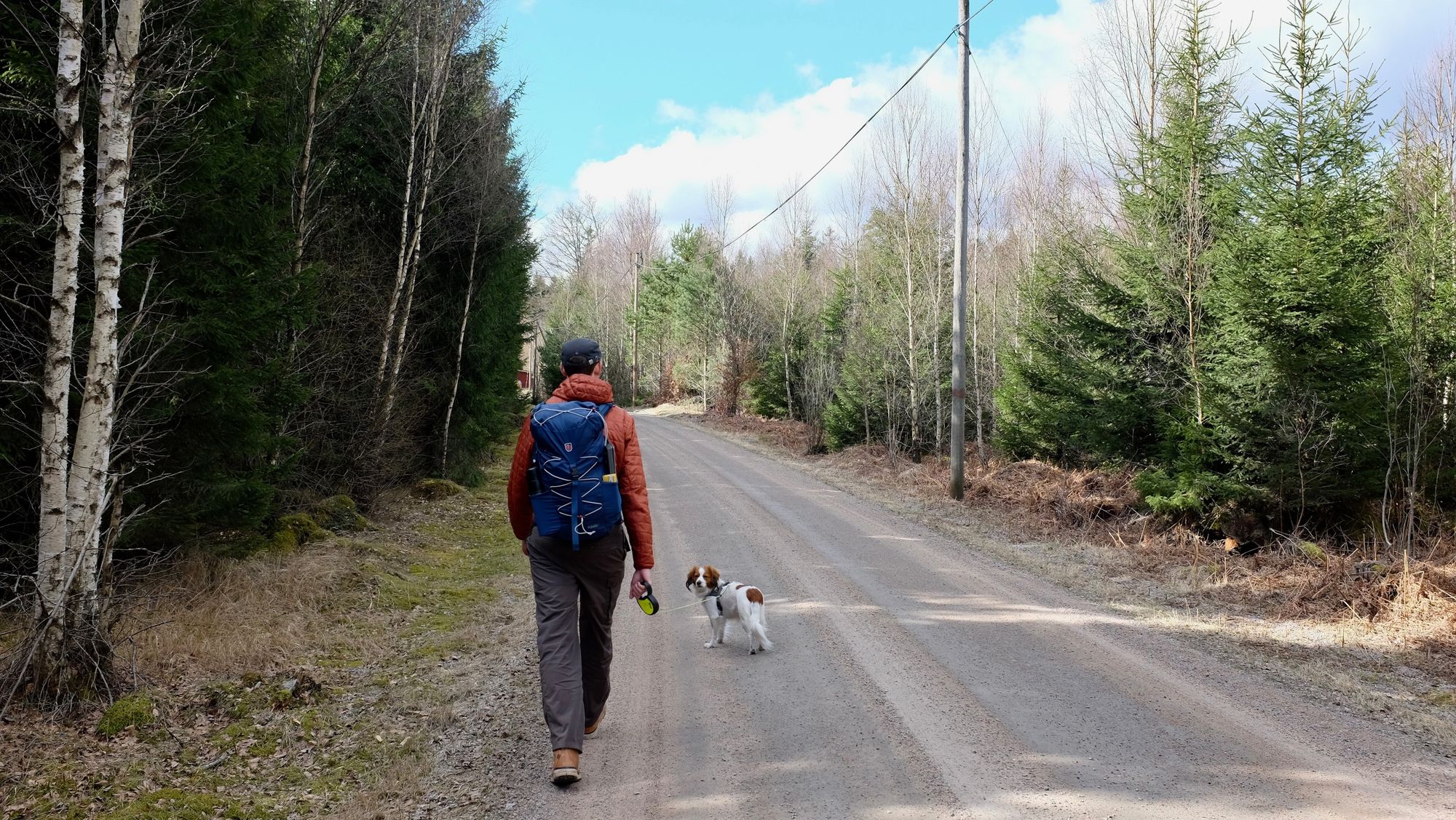
We hiked south through farmland under a blue sky and climbing temperatures, shedding layers as we went. In contrast to the cool, calm forests of the previous day, this part of the walk was hot, dry, and honestly kinda hostile. Each farm we passed seemed to trade in its own brand of unpleasantness - in one, a dog rushed to the gate barking furiously. In another, an intimidating sign proclaimed that the premises was protected by private security. In a third, gunshots rang out from nearby woods followed by the braying of some poor creature that was most likely the target. At one point, we found a slow worm dying in the road.
Luckily, we were back in the woods again around lunchtime, and we turned off Skåneleden towards Tjörnarp - the village where I stayed for a week last autumn. It hadn't changed much, but Laika was extremely excited to be back - pulling at the leash like crazy. Did she remember it? Was she just excited about something else? Who knows what happens in the mind of a dog.
We took the train from Tjörnarp down to Höör, which took all of six minutes, and located our accommodation. Having two letter ös in the middle of a word is not common in Swedish - and indeed the town was formerly named Hör. But at the beginning of the 20th century it was normal for Swedish letter-writers to write "här" (meaning "here") in the address of letters to be delivered inside the same town, and so the Swedish postal authorities changed the town's named to Höör to avoid confusion between handwritten "Här" and "Hör".
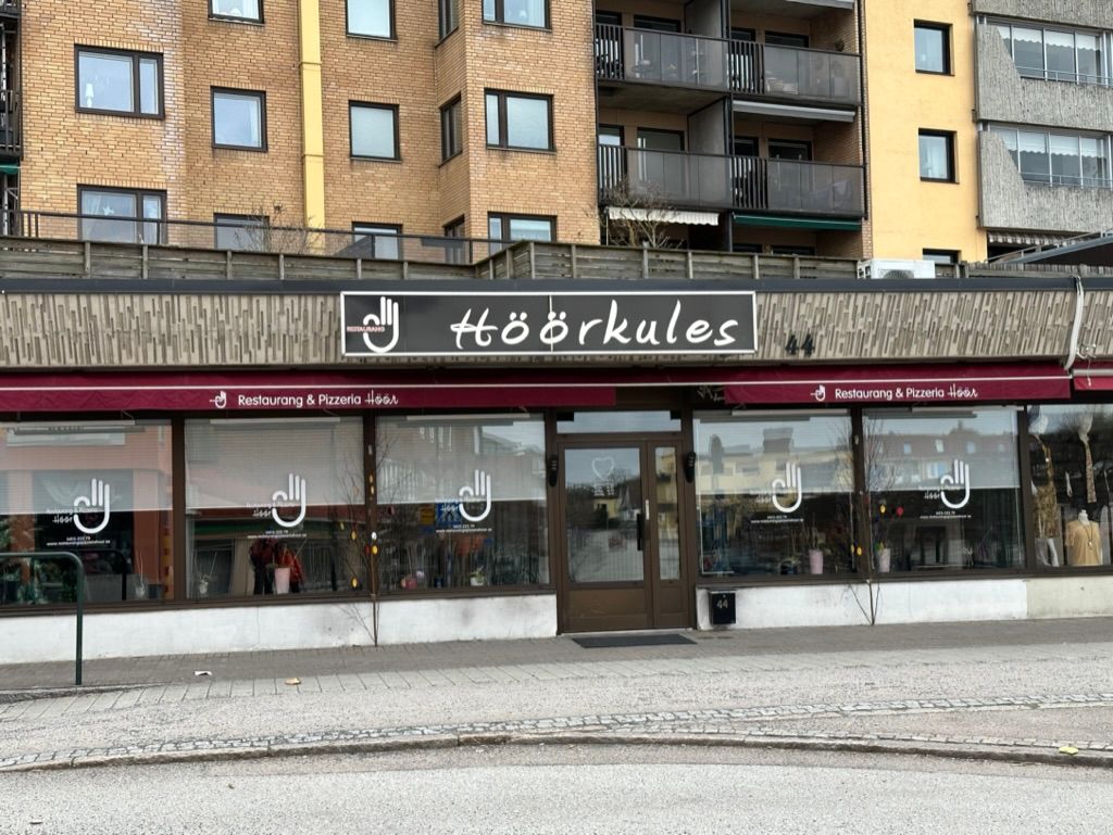
After dropping off the bags and the dog at the guesthouse, we went out to scout the town a little - discovering a place serving Neapolitan pizza, and a British pie shop. Not bad for small-town Sweden. We ate an excellent pizza, and bought some pies to eat the following lunch. Then, to wrap up the day, we walked up the road to the exact geographical midpoint of Skåne, which is marked with a millstone buried in the ground and an enigmatic sculpture that allows sunlight onto the millstone on 4 October each year - the anniversary of Höör's railway station opening in the late 19th century.
Day five: 25km
For the final day, we headed east out of town - passing through the local park and the historical centre before the train line arrived. Millstones seem to be a big thing in Höör - they could frequently be seen in local architecture, making up part of a wall.
It didn't take long to get back into the woods, and we finally began encountering larger numbers of people on the trail. Previously we'd maybe seen one or two other hikers each day, but on this stretch we met 20-30. We overtook a pair of Germans, then wanted to stop but felt like we couldn't because they'd overtake us again, and we'd have to overtake them again, and it would all have been very awkward in that uniquely northern-European way. So we kept walking instead, and hit a pace unseen since our first day.
By this point, the forest was pretty familiar to us, and so I didn't write down too many notes. We did see some frogs hanging out by a river, and a beautifully clear spring deep in the forest. We passed through the Bjeverödsdammen and Fulltofta hiking areas, the latter of which had a lovely set of elevated walkways along a river. As well as other hikers, we saw plenty of families out enjoying the warm Easter weather.
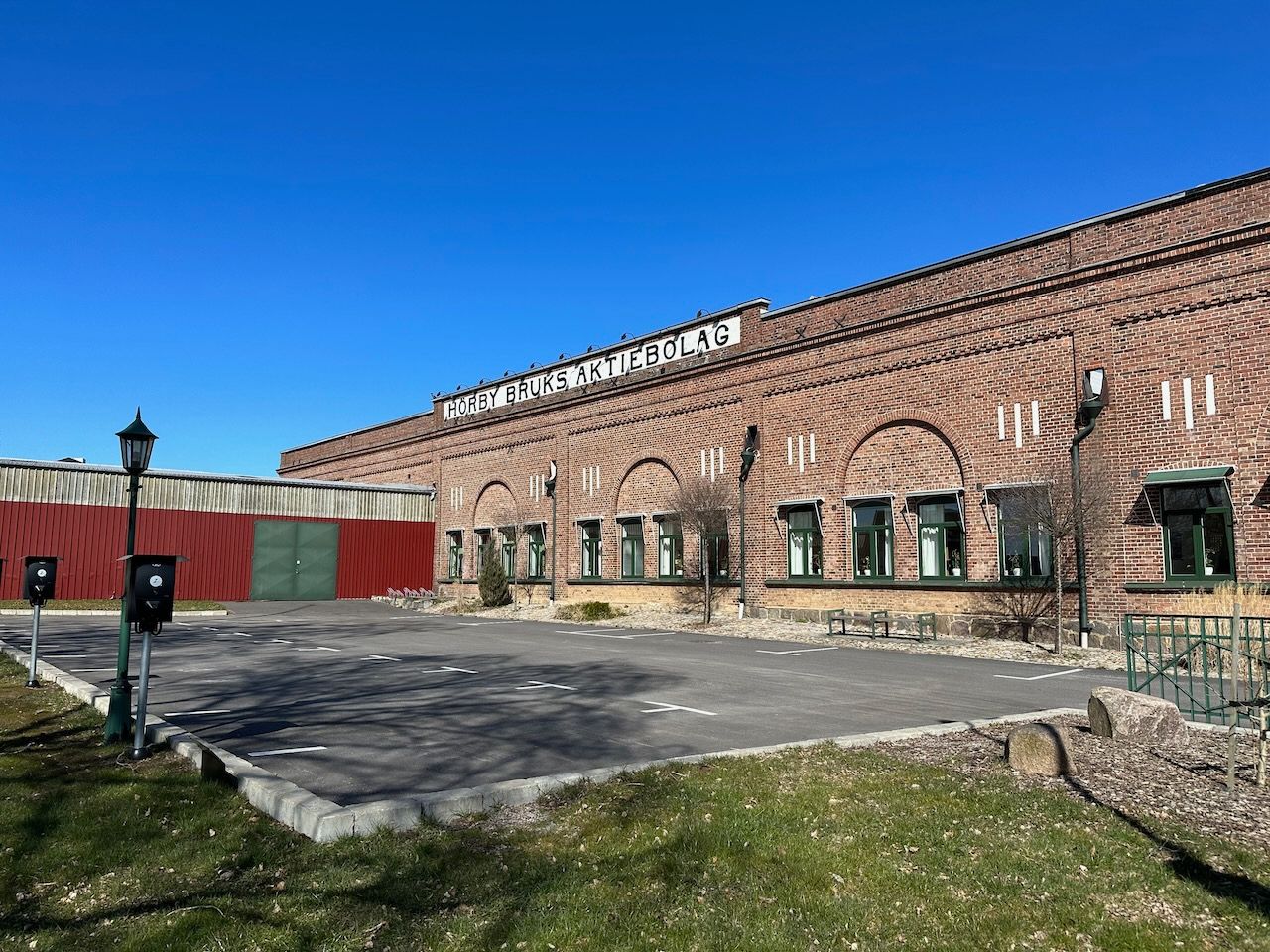
Eventually we reached Hörby, our final destination - weaving through the suburbs into the low-rise centre, grabbing an ice cream, and then making our way to the bus station where we watched teenagers in EPA tractors zoom past while waiting to catch our ride home.
So that was our five-day Easter walk for 2023. It was good - much more forested, though less scenic, than our four-day journey along Kullaleden in 2022, and more culturally interesting than our three-day walk along Gotaleden in 2021.
I love these multi-day walks, and I particularly love how it totally takes you out of the to-do list mindset. You're travelling, and so your only to-do is getting to your destination - everything else is more or less optional. You can take detailed notes as you go, as I did on the first couple of days, or rely more on your memory and photos, as I did on the second half.
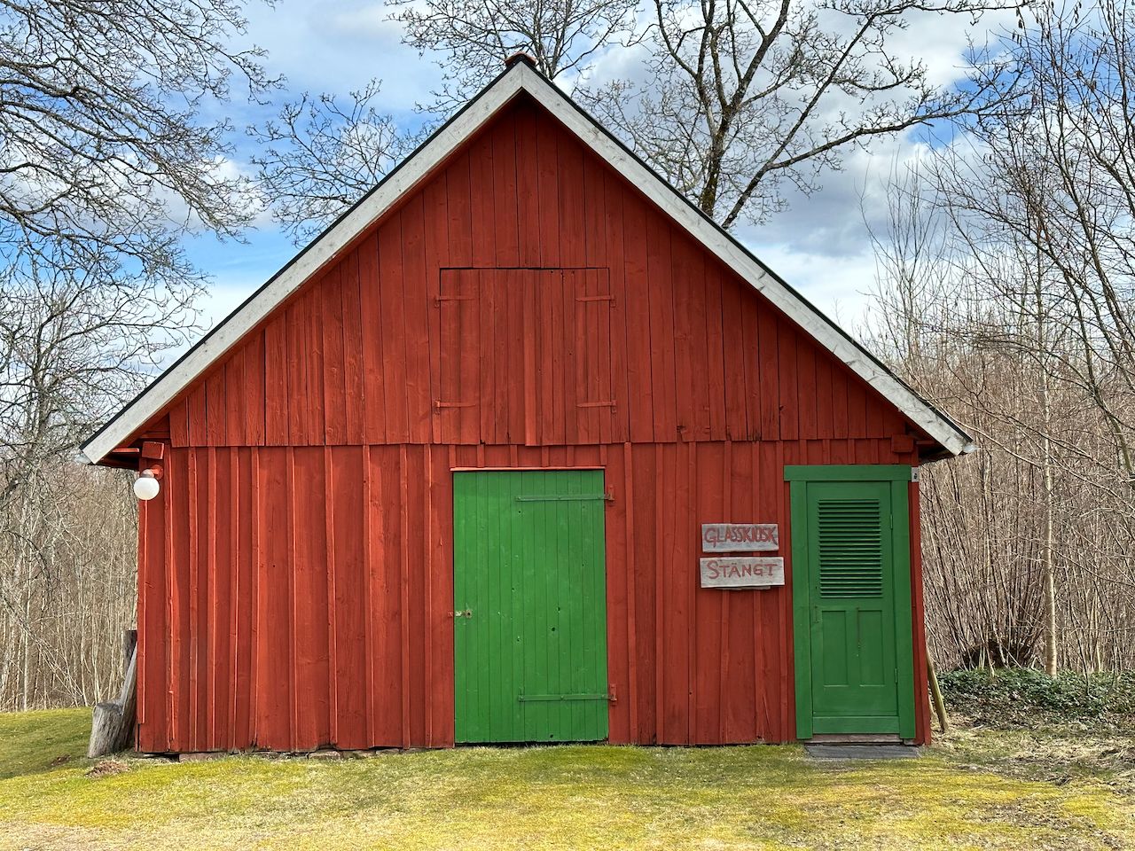
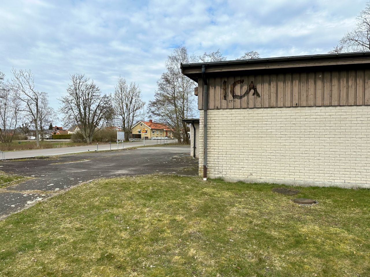
I like the model of walking between hotels, rather than camping (it's still too cold for comfortable camping at this time of year, and you need to carry all the kit). But Sweden's car culture makes it pretty difficult. Almost every town we passed had a shuttered building that clearly used to be a local food store, or even a small supermarket, but which had closed some time ago. A couple had been repurposed to something else (a gym, a doctor), but most were just standing there vacant.
What we did discover on this trip is that we don't necessarily need to walk from hotel-to-hotel each day. In Skåne, at least, there's reasonable bus provision and some railways, and so it's probably possible to base ourselves in a larger town for a few days and take public transport out to the start and end of each day's hike.
I think that'll do for this travelogue. I'm really happy to answer any questions about the gear I took with me, the routes we followed, walking in Sweden, or anything else. Hit reply to this message, but make sure it has my email address and not the Buttondown no-reply address in the "to" box when you do - that should happen automatically, but I've heard of some folks having problems recently.
Hope you had a lovely Easter too!
- Duncan
p.s. all the best photos in this post were taken by Silvia Hüttner.