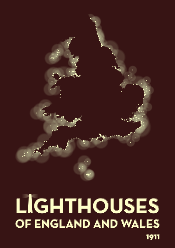
Lighthouses of England and Wales, 1911


Inspired by The Historical Light Aids to Navigation dataset, via Jeremy Singer-Vine's wonderful Data is Plural newsletter, here's a map of the lighthouses surrounding the coasts of England and Wales in 1911. Light radius is proportional to the power of each lighthouse. Made with QGIS and Figma.